UAVOS AI Software Reduces Inspection Reporting Time by 70%

UAVOS, a developer of unmanned aerial technologies and software solutions, tested its new AI-powered software platform designed to automatically analyze, interpret, and manage large volumes of drone inspection data. The AI Report Generator solution addresses a critical industry need to convert massive drone-collected imagery into fast, actionable intelligence - without manual review. UAVOS’ new software solution has been leveraged in the projects and reduced inspection-to-report turnaround time by over 70%.
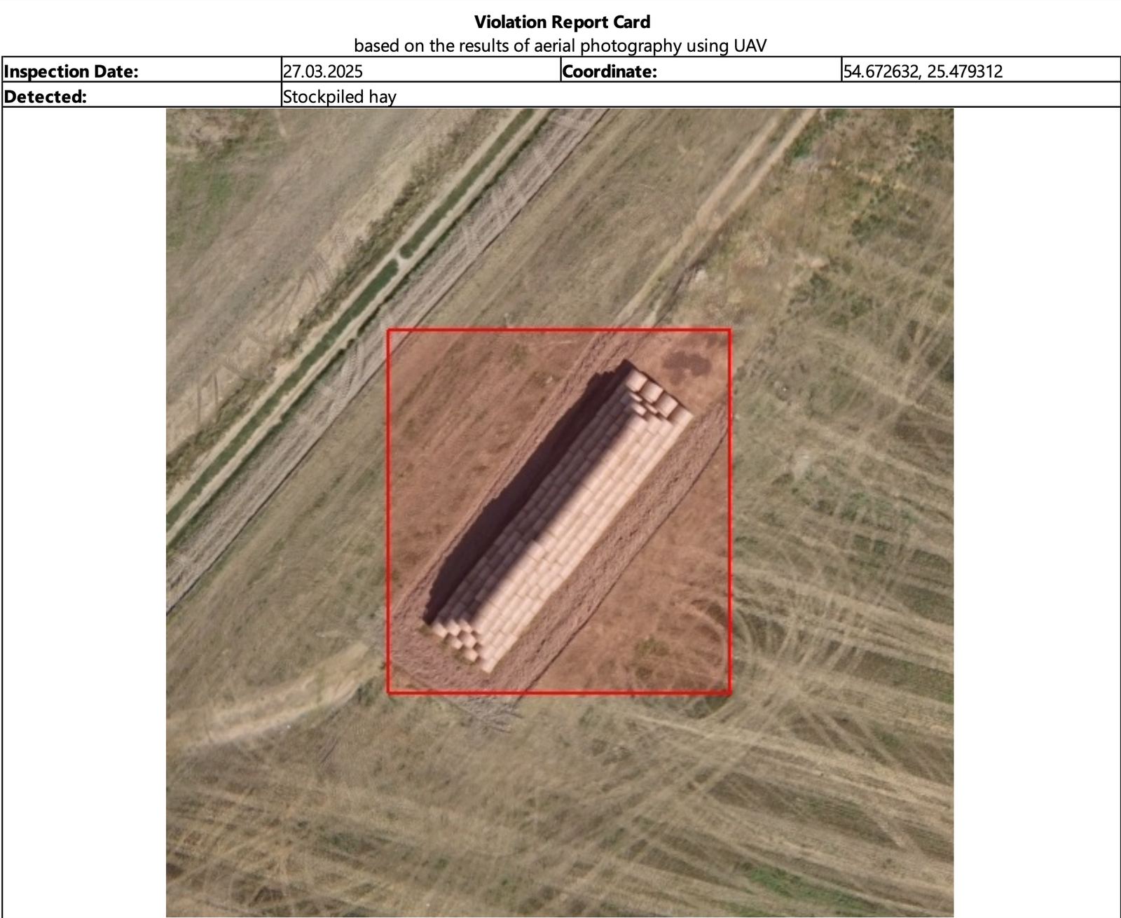
Leveraging artificial intelligence and computer vision, the platform can automatically scan thousands of images and video frames collected by drones, identifying potential violations or anomalies—such as fallen trees, debris, unauthorized structures, or ground disruptions—within minutes.
Engineers no longer need to sift through hours of footage manually. Instead, the system flags critical events, ranks them by severity, and automatically tags each finding with precise GPS coordinates and time stamps. This enables teams to generate detailed, georeferenced reports quickly, improving both response times and the quality of decision-making. This software ensures that engineers and decision-makers can act with speed and confidence, supported by a centralized interface that presents all findings visually on maps. AI Report Generator seamlessly integrates with UAVOS drones and third-party GIS, project management, and asset monitoring platforms.

"The future of drone operations isn't just in flight - it's in the intelligence we extract from the data," said Aliaksei Stratsilatau, CEO of UAVOS. "With our new AI-powered analytics platform, we're shifting from raw aerial footage to actionable insights in real-time, allowing oil and gas operators to prevent incidents before they happen and optimize every inspection cycle."
UAVOS’ special software has already been deployed during an inspection for the Oil & Gas industry in the Caspian Sea. UAVOS' engineers developed a custom software for recognizing, counting autonomous birds and seals, and identifying seal breeding areas along ice breaker vessel routes.
UAVOS' drone survey solutions support large-scale infrastructure projects in challenging terrain, offering real-time environmental awareness and optimized scheduling of ground teams - all without manual data review or on-site inspectors.
17 April 2025